


An Eye-Opening Journey in Advanced GIS & Remote Sensing at Cranfield University
20/03/2025

My experience in the Advanced GIS and Remote Sensing course at Cranfield University was nothing short of transformational. From day one, the course was designed to provide both technical expertise and real-world applications.
What made this course invaluable?
🔹 A Perfect Start: The program kicked off with an exciting field trip, allowing me to bond with lecturers and classmates in an informal setting before diving into lectures. This made the transition into the classroom smoother, fostering a supportive learning environment.
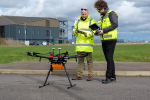
🔹 Hands-On Learning: This course provided me with state-of-the-art facilities and cutting-edge software, including QGIS, ArcGIS, Erdas Imagine, Agisoft Metashape, Google Earth Engine, and Python for Geospatial Data Science. I also gained experience in web mapping applications using various open-source and proprietary technologies.
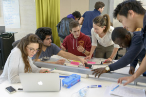
🔹 Real-World Applications: The assignments were not just academic exercises—they prepared me for the workforce by requiring us to apply advanced spatial analysis and remote sensing techniques to solve real-world environmental and land-use challenges. The group project was particularly rewarding, allowing me to collaborate with industry professionals while still learning.

This course was a career booster, equipping me with in-demand geospatial skills and enhancing my job prospects in the rapidly evolving GIS and Earth Observation field.
If you’re looking to take your GIS skills to the next level, Cranfield University is the place to be!
Categories & Tags:
Leave a comment on this post:
You might also like…
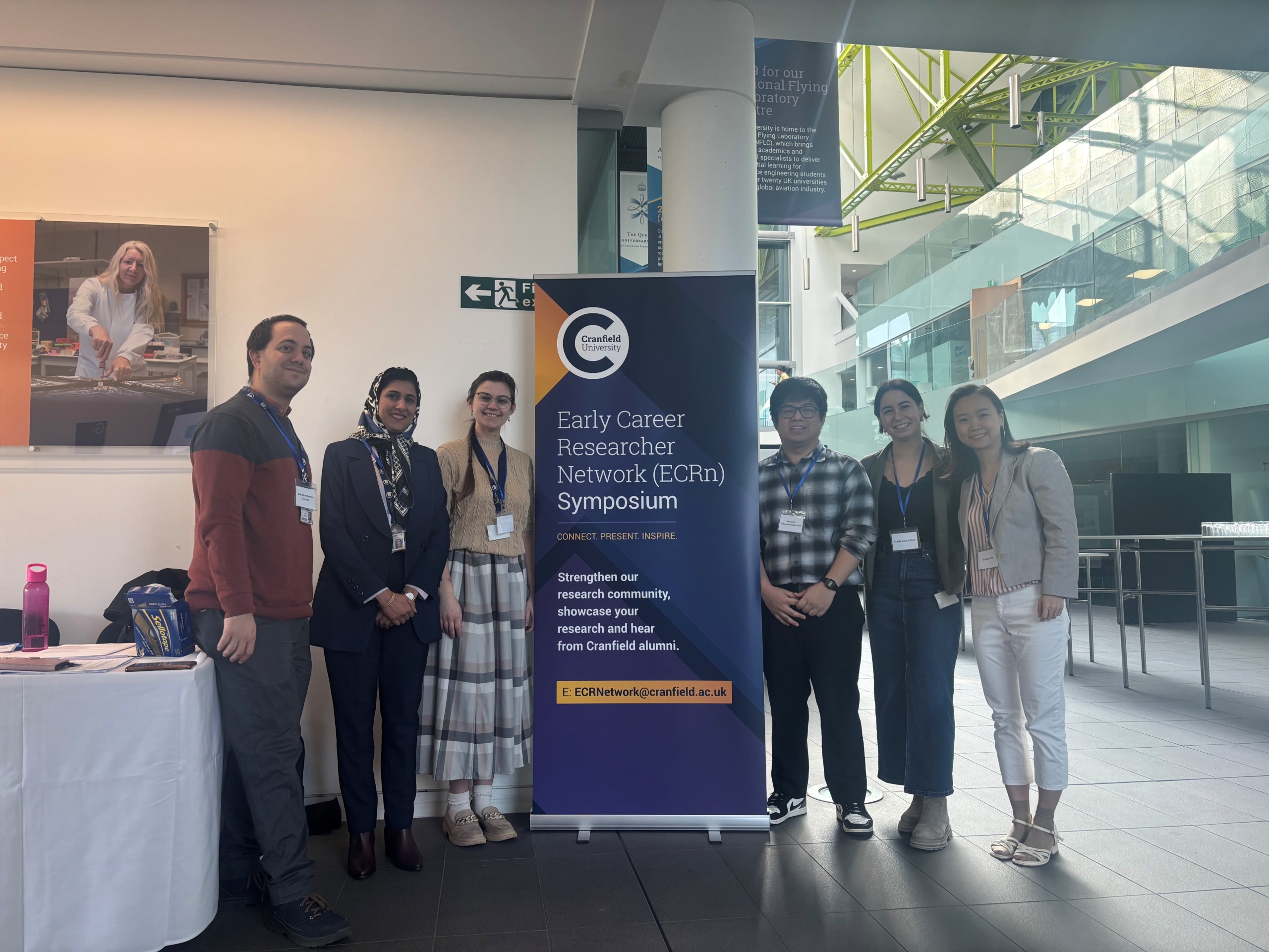
Building more than research: Reflections from the ECRn Symposium 2026
There’s something quietly powerful about a room full of early career researchers. Not just the ideas, although there were plenty of those—but the conversations, the curiosity, and the sense that everyone is figuring things ...

Library services over Easter, 3-6 April
Kings Norton Library will remain open for study 24/7. You will need your University ID card to enter the building and can use the self-service machines to borrow and return items as usual. Barrington Library ...

How do I access the full-text of Harvard Business Review (HBR)?
This is a frequently asked question, and it's worth knowing how to access this key management journal. So, how do you access HBR in full-text? The short answer is via our eJournals finder. You can find ...

Engineering problem to solve? Let Knovel help you find a solution
Did you know that Knovel provides you with more than just eBooks? Knovel is a key database for many engineering, mechanical and materials courses here at Cranfield University, and contains content from an extensive range ...
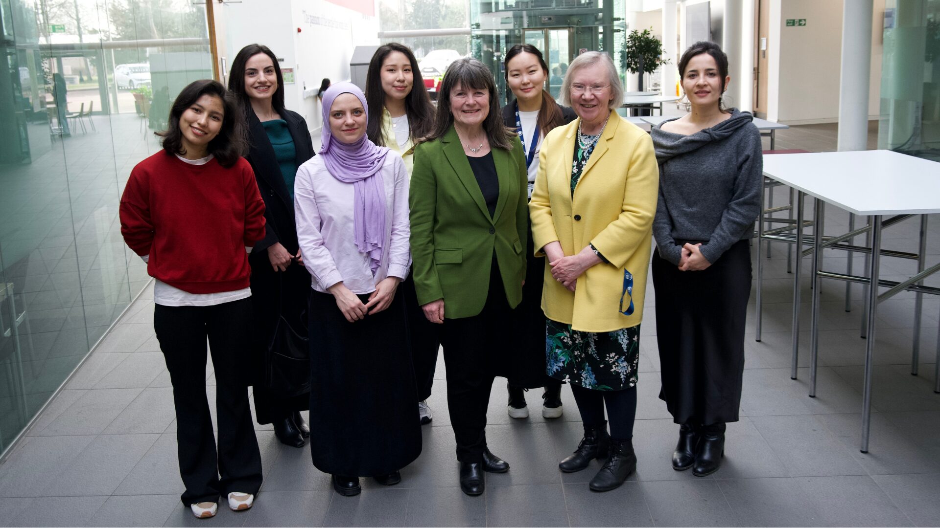
What happens when female scholars meet influential leaders?
On the 5 March 2026, our British Council Women in STEM Scholars had the privilege of sitting down with two excellent role models of industry and academia: Professor Dame Karen Holford, ...
From MSc to CEO: Igniting a research revolution
For many, a master’s degree is achieving a big milestone. Kilyan Ocampo, Computational Fluid Dynamics alumni shares how studying at Cranfield helped launch his career in the energy sector. Today, Kilyan ...
Comments are closed.