


‘Drones for Good’: Remotely Piloted Aircraft Systems (RPAS) helping investigators gather evidence and prevent future accidents
01/04/2016

Photo: DJI S1000 “Octocopter” Drone scans a demo accident site outside Martell House, Cranfield University
Accident sites are often dangerous or difficult places to work. There are always hazards that will require the accident investigator to expose themselves to risk. These take many forms – environmental, physical, material, biological, psychological – which will need to be addressed, as the investigator needs to collect as much evidence (particularly perishable evidence which might be washed away, blown away or destroyed) as quickly as possible.
During this initial risk assessment the RPAS cameras (video/stills/thermal/Infrared) are capturing this evidence. This imagery will then be used in real time to assist with communicating the situation to other agencies. This helps confirm the extent of the accident site or even control access, if required.
RPAS allows the investigator to conduct a dynamic risk assessment from a distance whilst also capturing the evidence required with video and stills. Previously helicopters or fixed wing aircraft might have been chartered to provide this service. This is expensive and not always practical.
Based upon the utility outlined above RPAS technology is currently being used by state level investigation agencies including UK Air Accidents Investigation Branch (AAIB) and the UK Rail Accident Investigation Branch (RAIB).
This technology is improving week by week, and some of the best results are being achieved with some of the smallest and most readily available systems.
A key point to the success of their deployment is that they are operated legally and safely by professionals who understand the airspace in which they might operate, but also the hazards present at the accident.
Cranfield University is leading the way in this field. At the Safety and Accident Investigation Centre we continue to test theories and push investigative/research boundaries on the accident site. Flying a range of drones, with a wide array of sensors, we aim to enhance current accident investigation techniques. But more than this we aim to revolutionise how evidence is gathered, analysed and then promulgated to the public and wider safety community.
An example of this is our work with 3D models. We are pioneering new 3D modelling techniques in order to provide accurate, measurable 3D models of accident sites (using the video and stills captured for evidence collection, then applying photogrammetry techniques to convert these images to 3 D models). These can then be used for investigative analysis, and as graphic representation in final accident reports.
This is a hugely exciting area of research, which utilises new and innovative drone technology and gives us an advantage when investigating serious accidents and incidents. Constantly looking to the future, our aim is to continue to be the centre of excellence with regard to this novel and innovative approach.
Categories & Tags:
Leave a comment on this post:
You might also like…
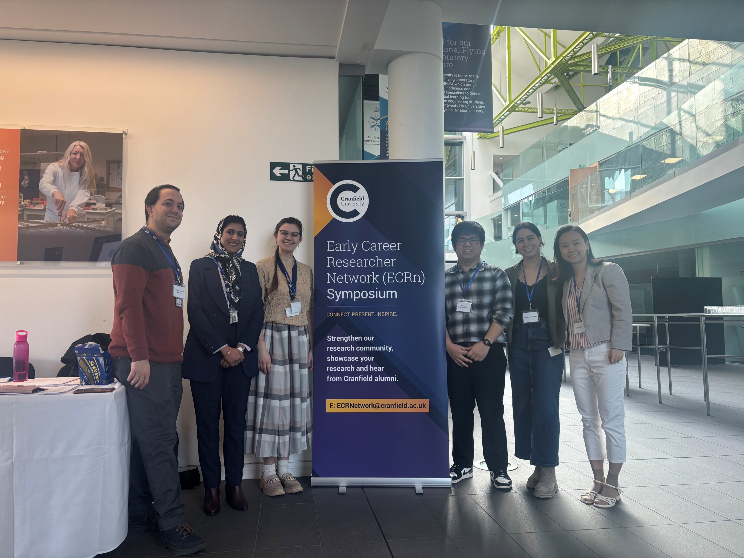
Building more than research: Reflections from the ECRn Symposium 2026
There’s something quietly powerful about a room full of early career researchers. Not just the ideas, although there were plenty of those—but the conversations, the curiosity, and the sense that everyone is figuring things ...
Library services over Easter, 3-6 April
Kings Norton Library will remain open for study 24/7. You will need your University ID card to enter the building and can use the self-service machines to borrow and return items as usual. Barrington Library ...

How do I access the full-text of Harvard Business Review (HBR)?
This is a frequently asked question, and it's worth knowing how to access this key management journal. So, how do you access HBR in full-text? The short answer is via our eJournals finder. You can find ...

Engineering problem to solve? Let Knovel help you find a solution
Did you know that Knovel provides you with more than just eBooks? Knovel is a key database for many engineering, mechanical and materials courses here at Cranfield University, and contains content from an extensive range ...
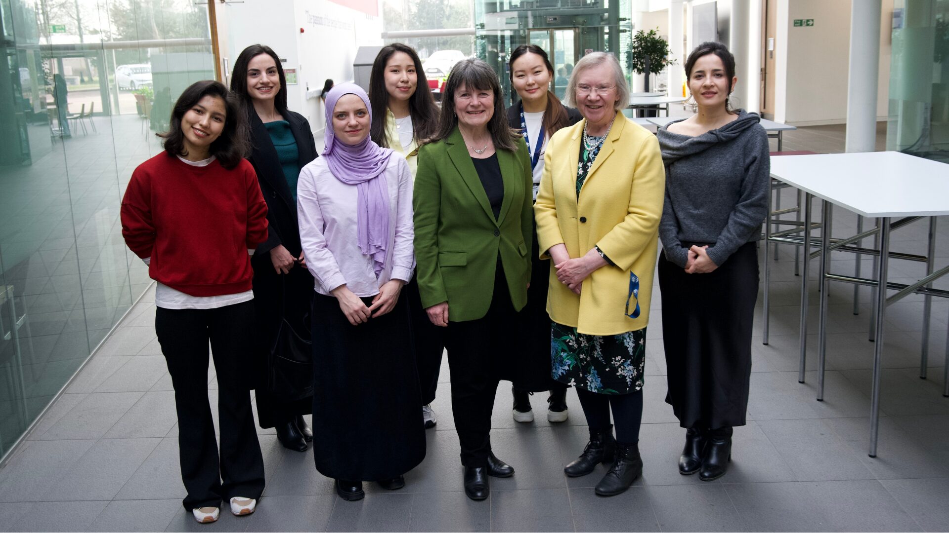
What happens when female scholars meet influential leaders?
On the 5 March 2026, our British Council Women in STEM Scholars had the privilege of sitting down with two excellent role models of industry and academia: Professor Dame Karen Holford, ...
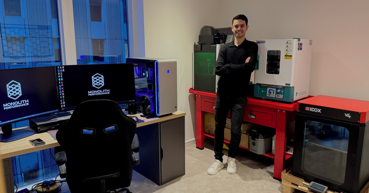
From MSc to CEO: Igniting a research revolution
For many, a master’s degree is achieving a big milestone. Kilyan Ocampo, Computational Fluid Dynamics alumni shares how studying at Cranfield helped launch his career in the energy sector. Today, Kilyan ...
I would imagine that quadcopters are the drones of choice for use in these situations. What about fixed wing systems?