


Learning a new skill in my life on the Geographic Information Management MSc
10/11/2018
My name is Nuha, I am from Sultanate of Oman. I worked in Oman National Hydrographic Office as a Development Specialist. My background is in database systems and cartography. Cranfield University offers the Geographic Information management MSc which is what I am currently studying. It is what I require to gain experience in this field because every day there are new technologies in the geographic area. I chose Cranfield University because of its academic standards and researcher education types which make it more exciting.
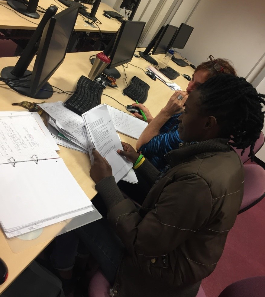
Learning something new in your career keeps anyone thinking, ‘what is next?’ I’m always playing with different types of software because my previous specialisation was Information Technology and my work used several types of software related to cartography and hydrography. Another software I can now add to my long list is Arc GIS software and it is really an amazing one. Arc GIS is a powerful software in the geographic area and in analytical processes in business practices. The software can deal with different types of data like topography, cartography and hydrography. Arc GIS can be elaborate in analysis imagery and remote sensing data, mapping, spatial analytics, real time GIS, 3D GIS and data collection and management. Actually, everyone uses GIS nowadays because it is available anywhere, for example a cars navigator.
My first day with the software was tricky, it looked ambiguous for me and it is totally different from what I learnt previously. During the first week with the software, I learnt the basic principles and methods which allowed me to do the next assignment. Arc GIS is a wonderful tool and makes you think before you start using it. The software can connect to various types of data and connectivity with web in a suitable way. For instance, you can create a web-based application via Arc GIS connecting with any external Relational Database Management System (RDMS) like oracle or Microsoft Structured Query Language (SQL) software.
Learning is a method that should be used in your life, adding knowledge to understand what exactly is going on in the world. Learning and working hard helps you to reach your goals and achieve your ambition and dreams, my ambition is doing any type of research and discovering what topic I should choose for my PhD for my next level of educational.
Categories & Tags:
Leave a comment on this post:
You might also like…

My Apprenticeship Journey – Broadening Horizons
Laura, Senior Systems Engineer at a leading aircraft manufacturing company, joined Cranfield on the Systems Engineering Master’s Apprenticeship after initially considering taking a year off from her role to complete an MSc. Apprenticeship over MSc? ...

The Library app is back!
The Library app is back! It's exactly the same as before (although it will get a fresh look in a few months) and if you hadn't removed it from an existing device it should just ...
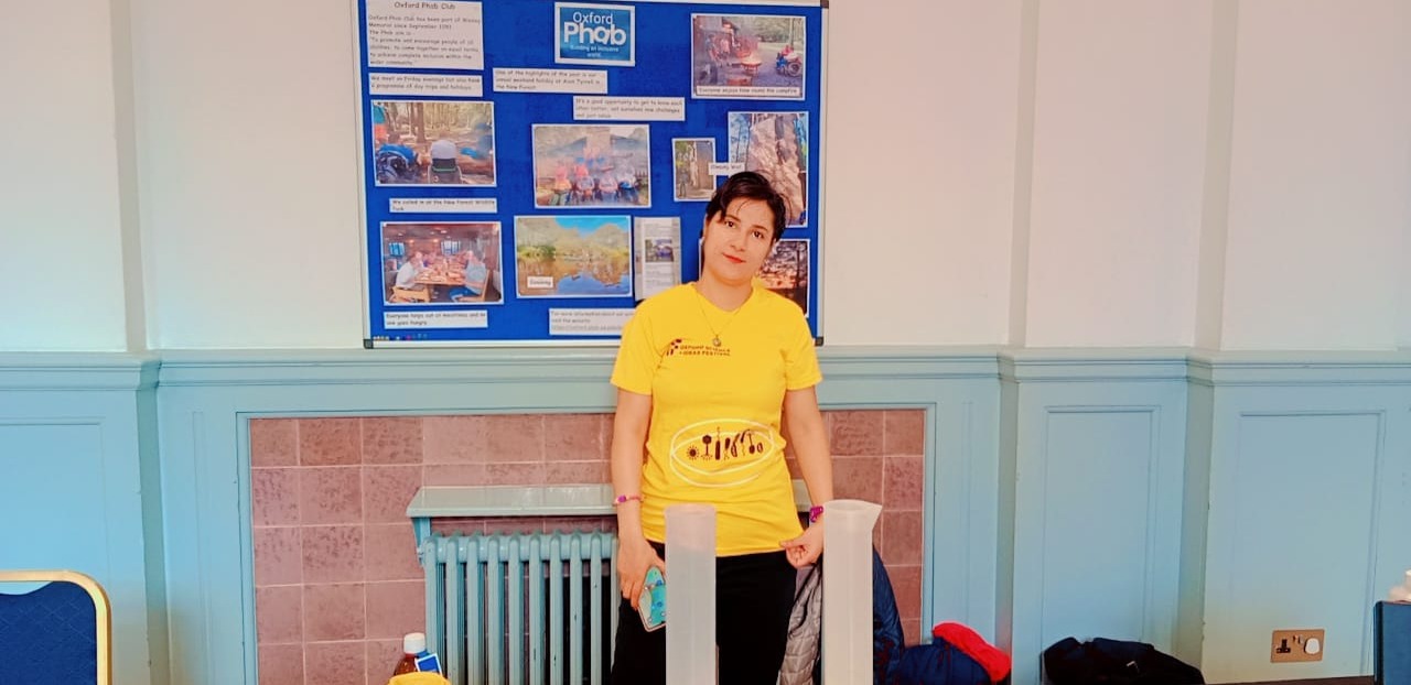
PhD researcher at the IF Oxford Science and Ideas Festival
IF Oxford is a science and ideas Festival packed with inspiring, entertaining and immersive events for people all ages. PhD researcher, Zahra attended the festival. Here she shares what motivated her to get involved. ...

What leadership skills are required to meet the demands of digitalisation?
Digital ecosystems are shifting the dynamics of the world as we know it. With digitalisation being a norm in the software industry, there is currently a rapid rise in its translation ...

My PhD experience within the Centre for Air Transport at Cranfield University
Mengyuan began her PhD in the Centre for Air Transport in October 2022. She recently shared what she is working on and how she has found studying at Cranfield University so ...
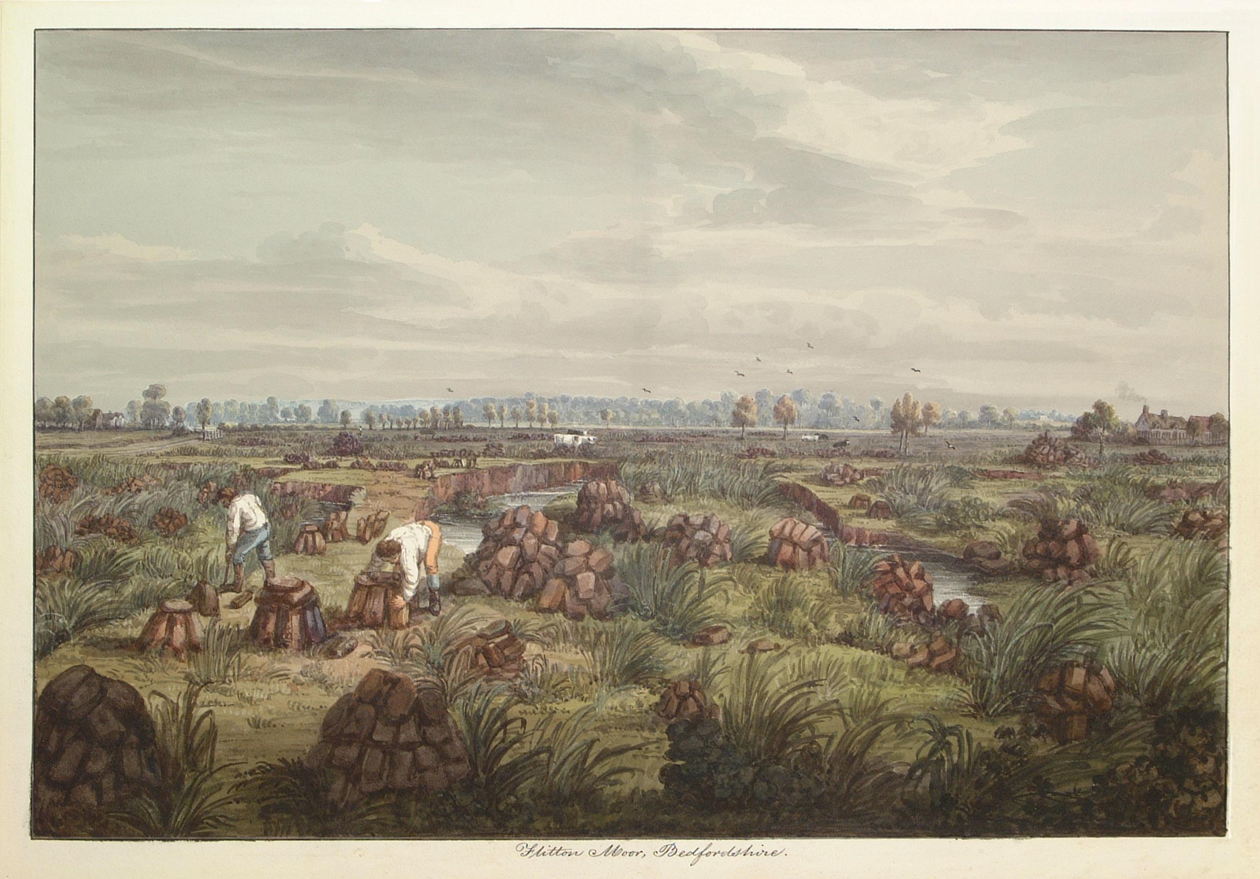
In the tyre tracks of the Edwardian geologists
In April 1905 a group of amateur geologists loaded their cumbersome bicycles on to a north-bound train at a London rail station and set off for Bedfordshire on a field excursion. In March 2024 a ...