


New crops data in Environment Digimap
22/11/2018

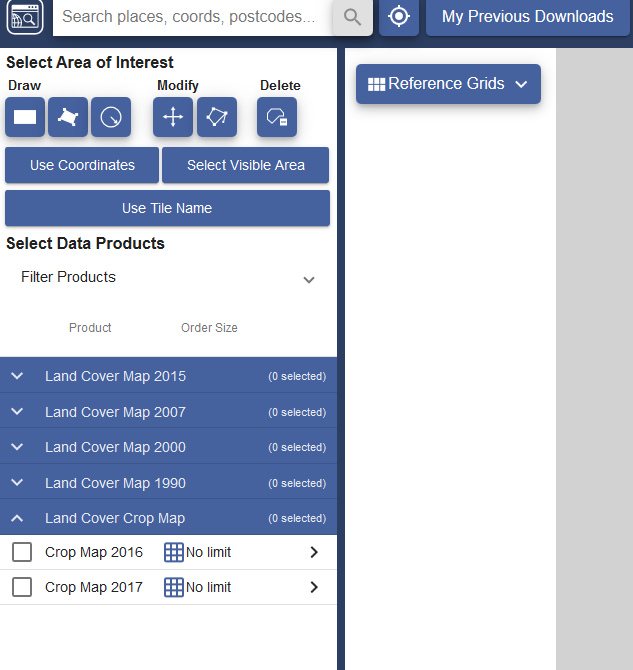
The Centre for Ecology and Hydrology have added Land Cover Plus: Crops to the range of data available through Environment Digimap.
This dataset has been created in partnership with Remove Sensing Applications Consultants and provides annually updated arable crop information for the whole of Great Britain. Both 2016 and 2017 versions of the dataset are now available. Environment Digimap is the only platform dedicated to the academic sector offering this data.
You can find CEH Land Cover Plus: Crops data in Digimap under Environment Data Download:
Environment Digimap can be accessed via the link on our eresources A-Z page or from your subject pages on the Kings Norton Library intranet site.
If you have any queries please contact libraryresources@cranfield.ac.uk.
Categories & Tags:
Leave a comment on this post:
You might also like…

My PhD experience within the Centre for Air Transport at Cranfield University
Mengyuan began her PhD in the Centre for Air Transport in October 2022. She recently shared what she is working on and how she has found studying at Cranfield University so ...
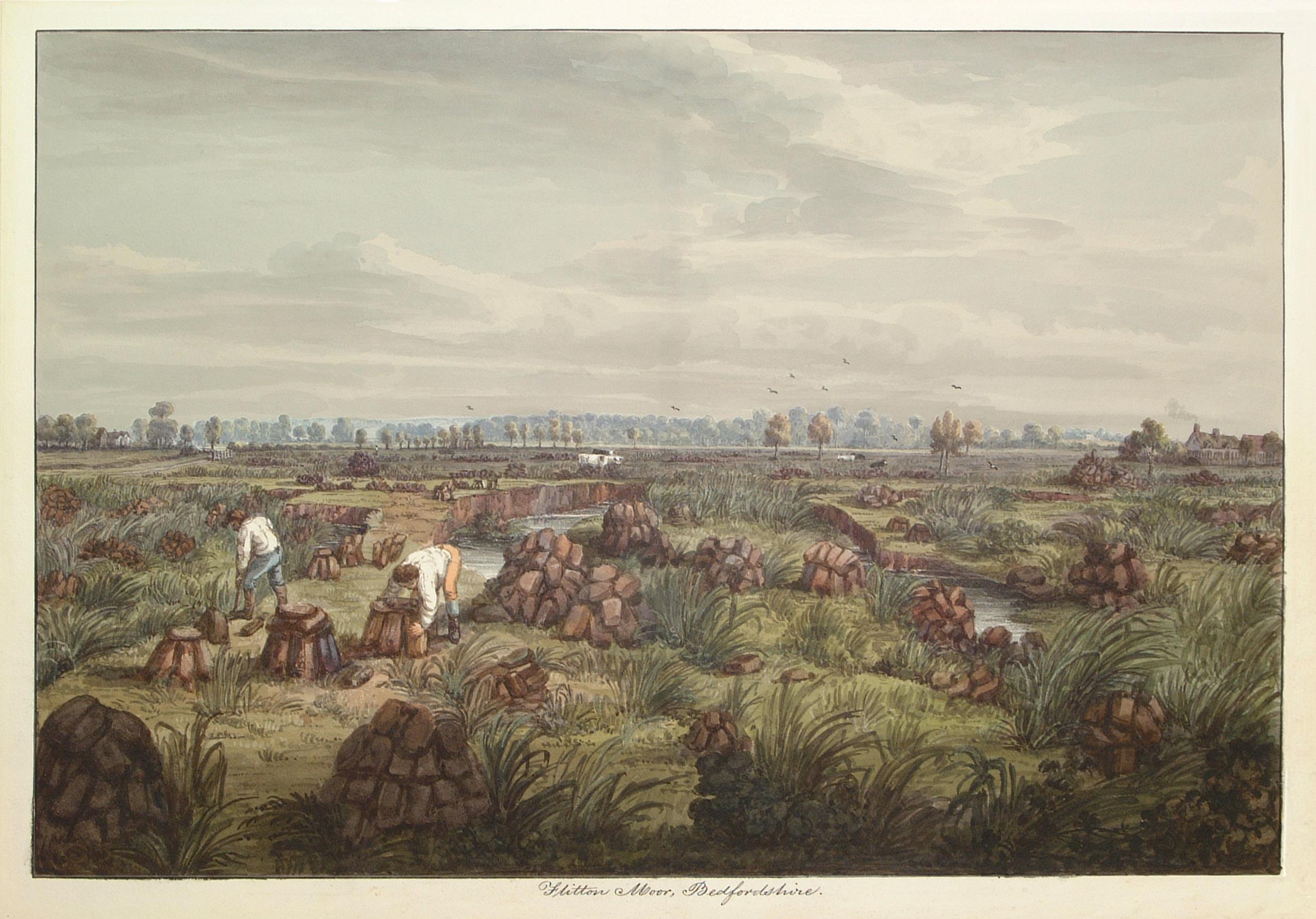
In the tyre tracks of the Edwardian geologists
In April 1905 a group of amateur geologists loaded their cumbersome bicycles on to a north-bound train at a London rail station and set off for Bedfordshire on a field excursion. In March 2024 a ...

How do I reference… images, figures, and tables in the APA7 style?
So you want to use an image or table in your assignment that you didn't create yourself - but you don't know how to cite it? Read on to find out how. Any images, figures, ...
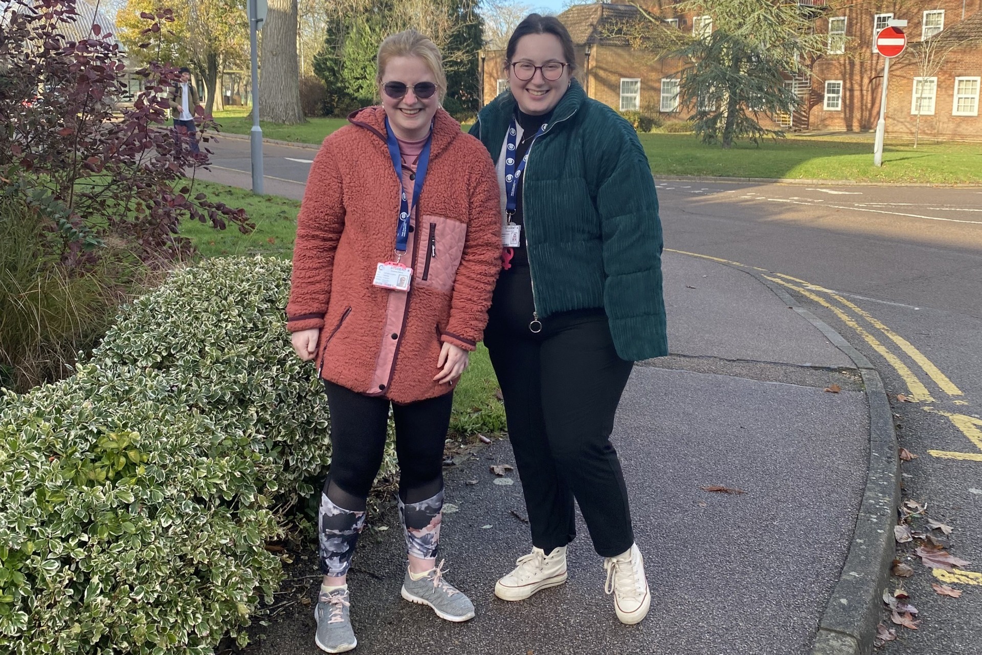
Forensic Archaeology and Anthropology students Grace and Trish on life at Cranfield
“Me and Grace met during our undergrad in Ireland, and we’ve been inseparable ever since to the point that we followed each other to another country to do our master’s” – Trish Commins Forensic ...
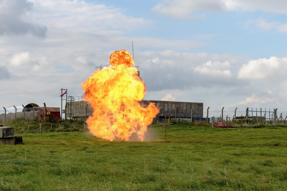
My Apprenticeship Journey – Taking on a New Challenge
Philip Carey, Senior Environmental Test Engineer at defence company Martin Baker is currently undertaking the Explosives Ordnance MSc Apprenticeship, with the three-year course being partly funded through his employer’s apprenticeship levy payments. ...

New AI feature in Scopus: one month trial
Library Services has organised a month-long trial to a new AI feature on Scopus, ending on 8 May. You can find the tool on the main menu in Scopus as a new tab. Scopus AI ...